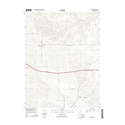
2015 Map of New Salem
USGS Topo · Published 2015About this map
Pittsfield serves as a prominent anchor in the southeastern corner of this Pike County landscape, where the waters of Lake Pittsfield are nestled against the city's outskirts. The terrain is defined by a dendritic network of streams, including S Fork McKee Cr in the north and the meandering Bay Creek and Blue Creek further south. This drainage pattern historically influenced the placement of early settlements and the subsequent road network, which transitions from the grid-like avenues of New Salem and Maysville to more sinuous routes like Co Highway 2.
Find a feature on this map
57 named features on this map. Tap any name to fly to it.
Don’t see what you’re looking for? This feature index may not catch every label — zoom into the map to look around manually.
Map Details
Editions of this 2015 New Salem Map
This is the sole edition of this map. No revisions or reprints were ever made.
Other maps of this area

1924 · Griggsville
USGS Topo · 1:62,500

1926 · Griggsville
USGS Topo · 1:62,500

1926 · Pittsfield
USGS Topo · 1:62,500

1926 · Mt Sterling
USGS Topo · 1:62,500

1928 · Meredosia
USGS Topo · 1:62,500

1929 · Mt Sterling
USGS Topo · 1:62,500

1931 · Meredosia
USGS Topo · 1:62,500

1948 · Quincy
USGS Topo · 1:250,000

1956 · Quincy
USGS Topo · 1:250,000

1975 · Pittsfield SE
USGS Topo · 1:24,000