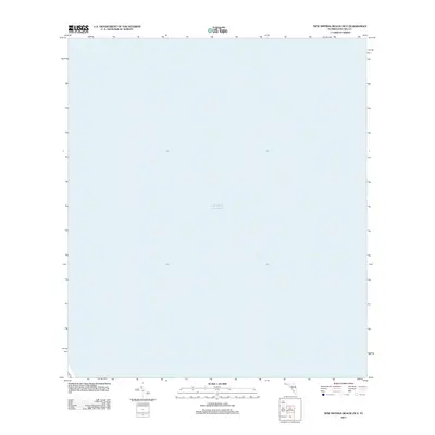
2012 Map of New Smyrna Beach OE E
USGS Topo · Published 2012About this map
The vast expanse of the Atlantic Ocean dominates this maritime survey off the coast of Volusia County. This coastal area, documented in 2012 by the U.S. Geological Survey, represents a specific nautical quadrangle where the land meets the deep water. The map serves as a specialized cartographic record of the open water and shelf geography just east of the Florida coastline, focusing on the oceanic environment rather than terrestrial developments.
Find a feature on this map
1 named feature on this map. Tap any name to fly to it.
Don’t see what you’re looking for? This feature index may not catch every label — zoom into the map to look around manually.
Map Details
Editions of this 2012 New Smyrna Beach OE E Map
This is the sole edition of this map. No revisions or reprints were ever made.
Other maps of this area

1937 · Port Orange
USGS Topo · 1:48,000

1943 · Port Orange
USGS Topo · 1:62,500

1944 · Port Orange
USGS Topo · 1:62,500

1950 · Ariel
USGS Topo · 1:24,000

1950 · Edgewater
USGS Topo · 1:24,000

1954 · Daytona Beach
USGS Topo · 1:250,000

1955 · Orlando
USGS Topo · 1:250,000

1956 · Port Orange
USGS Topo · 1:24,000

1956 · New Smyrna Beach
USGS Topo · 1:24,000
1956 · Port Orange
USGS Topo · 1:62,500