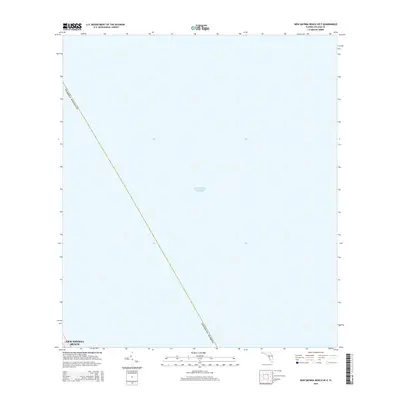
2015 Map of New Smyrna Beach OE E
USGS Topo · Published 2015About this map
The vast expanse of the Atlantic Ocean dominates this maritime survey, illustrating the coastal waters just off the Florida shoreline in the early 21st century. As a coastal quadrangle focused almost entirely on the open sea, the map serves as a nautical reference for the Atlantic waters of Volusia County. The diagonal boundary line for the county and state extends across the western corner of the sheet, providing a precise spatial context for where the offshore waters transition from coastal jurisdiction to federal waters. While feature-sparse, the map is a primary resource for documenting the exact maritime boundaries and sea-level data at this specific geographic point along the Florida coast.
Find a feature on this map
3 named features on this map. Tap any name to fly to it.
Don’t see what you’re looking for? This feature index may not catch every label — zoom into the map to look around manually.
Map Details
Editions of this 2015 New Smyrna Beach OE E Map
This is the sole edition of this map. No revisions or reprints were ever made.
Other maps of this area

1937 · Port Orange
USGS Topo · 1:48,000

1943 · Port Orange
USGS Topo · 1:62,500

1944 · Port Orange
USGS Topo · 1:62,500

1950 · Ariel
USGS Topo · 1:24,000

1950 · Edgewater
USGS Topo · 1:24,000

1954 · Daytona Beach
USGS Topo · 1:250,000

1955 · Orlando
USGS Topo · 1:250,000

1956 · Port Orange
USGS Topo · 1:24,000

1956 · New Smyrna Beach
USGS Topo · 1:24,000
1956 · Port Orange
USGS Topo · 1:62,500