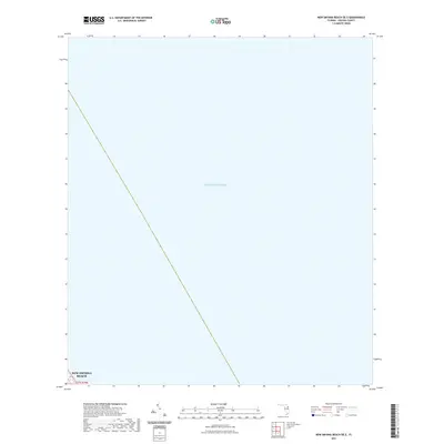
2021 Map of New Smyrna Beach OE E
USGS Topo · Published 2021About this map
The Atlantic Ocean dominates this maritime survey off the coast of Volusia County, providing a specialized look at the open waters just east of the Florida shoreline. While the map is primarily a hydrographic study of the sea, the southwestern corner captures a critical boundary for New Smyrna Beach, marking the transition from the city's coastal limits to the federal waters of the Atlantic. This 2021 edition serves as a precise modern reference for the offshore area within t17s r34e, illustrating the contemporary maritime jurisdiction and the vast expanse of water that has historically shaped the development of the adjacent Florida coastline.
Find a feature on this map
3 named features on this map. Tap any name to fly to it.
Don’t see what you’re looking for? This feature index may not catch every label — zoom into the map to look around manually.
Map Details
Editions of this 2021 New Smyrna Beach OE E Map
This is the sole edition of this map. No revisions or reprints were ever made.
Other maps of this area

1937 · Port Orange
USGS Topo · 1:48,000

1943 · Port Orange
USGS Topo · 1:62,500

1944 · Port Orange
USGS Topo · 1:62,500

1950 · Ariel
USGS Topo · 1:24,000

1950 · Edgewater
USGS Topo · 1:24,000

1954 · Daytona Beach
USGS Topo · 1:250,000

1955 · Orlando
USGS Topo · 1:250,000

1956 · Port Orange
USGS Topo · 1:24,000

1956 · New Smyrna Beach
USGS Topo · 1:24,000
1956 · Port Orange
USGS Topo · 1:62,500