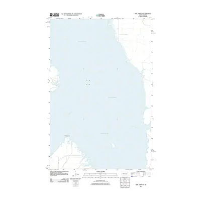
2011 Map of New Town SE
USGS Topo · Published 2011About this map
Lake Sakakawea dominates this 2011 survey, illustrating the vast reach of the reservoir created by the Garrison Dam along the Missouri River. The map focuses on the watery expanse southeast of New Town, where the original river channel is submerged beneath the reservoir's broad surface. On the southern shoreline, Independence Point provides a prominent landform overlooking the water, while the transportation network is represented primarily by Bia 13, reflecting the tribal infrastructure of the Fort Berthold Indian Reservation. The map offers a precise view of the shoreline and the modern hydrology of this central North Dakota region during the early 21st century.
Find a feature on this map
4 named features on this map. Tap any name to fly to it.
Don’t see what you’re looking for? This feature index may not catch every label — zoom into the map to look around manually.
Map Details
Editions of this 2011 New Town SE Map
This is the sole edition of this map. No revisions or reprints were ever made.
Other maps of this area

1953 · Watford City
USGS Topo · 1:250,000

1957 · Watford City
USGS Topo · 1:250,000

1967 · Watford City
USGS Topo · 1:250,000

1967 · Raub NW
USGS Topo · 1:24,000

1967 · New Town SW
USGS Topo · 1:24,000

1967 · Parshall SW
USGS Topo · 1:24,000

1967 · New Town SE
USGS Topo · 1:24,000

1970 · String Buttes
USGS Topo · 1:24,000
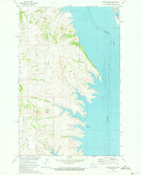
1970 · Saddle Butte
USGS Topo · 1:24,000

1981 · New Town
USGS Topo · 1:24,000