2023 Map of New Tripoli
USGS Topo · Published 2023About this map
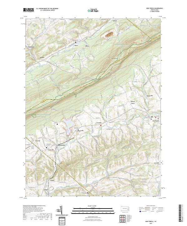
Blue Mountain and the Appalachian National Scenic Trail dominate the northern landscape of this region, where the borders of Lehigh, Schuylkill, and Carbon counties converge. The terrain transitions from the steep ridge of Shochary Ridge down into the Kistler Valley, a fertile area defined by the winding paths of Ontelaunee Creek and Kistler Creek. The settlement pattern reflects deep-rooted Pennsylvania German heritage, anchored by numerous historic sites such as the Jacobs Union Church Cem and the Jerusalem Union Church Cem. Central to the community is Leaser Lake, providing a focal point for the surrounding hamlets. Landmarks like the Graber Obelisk Monument near Steinsville and the Cuatros Vientos Airport near Slateville illustrate the blend of commemorative local history and modern utility within this rural landscape.
Find a feature on this map
125 named features on this map. Tap any name to fly to it.
Don’t see what you’re looking for? This feature index may not catch every label — zoom into the map to look around manually.
Map Details
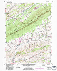
Editions of this 2023 New Tripoli Map
This is the sole edition of this map. No revisions or reprints were ever made.
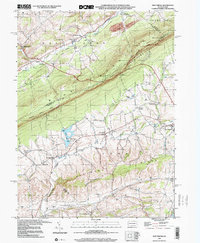
Historical Maps of Kempton Through Time
3 maps found
Featured Locations
- Albany Township, PA
- Weisenberg Township, PA
- West Penn Township, PA
- Lynnport, Lynn Township
- Slateville, Lynn Township