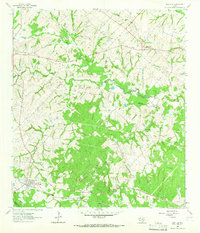
1963 Map of New Ulm
USGS Topo · Published 1965About this map
New Ulm and Industry anchor this rural Texas landscape in the early 1960s, a region defined by its German heritage and scattered farming communities. The Missouri Kansas Texas railroad cuts through the southern reaches, connecting the settlement at New Ulm to wider markets. The terrain is deeply carved by a dense network of waterways including Sandy Creek, West Mill Creek, and Black Walnut Creek, creating a complex topography of ridges and draws. Numerous family and community burial grounds, such as National Cem, Zettle Cem, and Shelburne Cem, are situated on the higher ground between these drainages, providing a rich record of the area's ancestral settlements. The map also captures the smaller locales of Nelsonville and New Bremen, along with the transition between Austin and Colorado counties, reflecting the persistent rural character of this portion of the Texas coastal plain.
Find a feature on this map
35 named features on this map. Tap any name to fly to it.
Don’t see what you’re looking for? This feature index may not catch every label — zoom into the map to look around manually.
Map Details
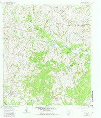
Editions of this 1963 New Ulm Map
2 editions found
Other maps of this area

1919 · Fayettsville
USGS Topo · 1:62,500

1930 · Brenham
USGS Topo · 1:62,500

1953 · Seguin
USGS Topo · 1:250,000

1954 · Austin
USGS Topo · 1:250,000

1956 · Bellville
USGS Topo · 1:62,500

1956 · Brenham
USGS Topo · 1:62,500

1958 · Seguin
USGS Topo · 1:250,000

1958 · Industry
USGS Topo · 1:24,000

1958 · Greenvine
USGS Topo · 1:24,000

1958 · Frelsburg
USGS Topo · 1:24,000