
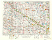
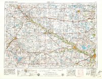
1953 Map of New Ulm
USGS Topo · Published 1968About this map
The Minnesota Valley carves a deep path through the heart of this mid-century landscape, framing the historical and cultural development of south-central Minnesota. Along its banks, the Upper Sioux Indian Res and Lower Sioux Indian Res mark significant ancestral and sovereign lands, while the Milford State Monument stands as a commemorative landmark. The map reveals a dense agricultural and rail-based economy, with the Great Northern RR and the Chicago and North Western RR connecting dozens of prairie settlements like Montevideo, Olivia, and Glencoe.
Find a feature on this map
239 named features on this map. Tap any name to fly to it.
Don’t see what you’re looking for? This feature index may not catch every label — zoom into the map to look around manually.
Map Details
Editions of this 1953 New Ulm Map
3 editions found
Other maps of this area

1950 · Mankato East
USGS Topo · 1:62,500

1951 · Mankato East
USGS Topo · 1:62,500

1951 · Mankato West
USGS Topo · 1:62,500

1952 · Morton
USGS Topo · 1:62,500

1952 · Redwood Falls
USGS Topo · 1:62,500

1953 · Morgan
USGS Topo · 1:62,500

1953 · Milbank
USGS Topo · 1:250,000

1953 · Saint Paul
USGS Topo · 1:250,000

1953 · Watertown
USGS Topo · 1:250,000

1953 · Saint Cloud
USGS Topo · 1:250,000