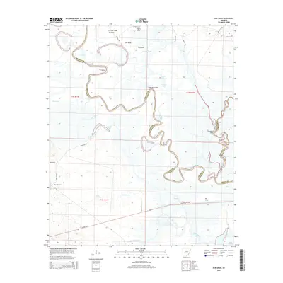
2014 Map of New Union
USGS Topo · Published 2014About this map
The Ouachita River defines the central geography of this region, snaking through the bottomlands with complex meanders such as Stormhole Bend and Caney Marais Bend. This intricate fluvial landscape is marked by numerous oxbows and backwaters, including Mud Lake, Pereogeethe Lake, and Jones Lake, illustrating the river's historical shifts across the floodplain. The terrain rises to distinct landforms like Pea Ridge and Cedar Ridge, providing higher ground above the wet drainages of Caney Bayou and Lapoile Creek. The settlement of New Union sits at the intersection of local routes, including Jones Lake Road, while the southern portion of the area is traversed by the Strong Highway. This 2014 survey documents the convergence of Bradley, Union, and Ashley counties at the junction where the Saline River meets the Ouachita, a critical waterway network for South Arkansas.
Find a feature on this map
47 named features on this map. Tap any name to fly to it.
Don’t see what you’re looking for? This feature index may not catch every label — zoom into the map to look around manually.
Map Details
Editions of this 2014 New Union Map
This is the sole edition of this map. No revisions or reprints were ever made.
Other maps of this area

1933 · Strong
USGS Topo · 1:62,500

1934 · Ingalls
USGS Topo · 1:48,000

1934 · Felsenthal
USGS Topo · 1:62,500

1934 · Moro Bay
USGS Topo · 1:62,500

1937 · Strong
USGS Topo · 1:62,500

1937 · Felsenthal
USGS Topo · 1:62,500

1937 · Ingalls
USGS Topo · 1:62,500

1938 · Felsenthal
USGS Topo · 1:62,500

1938 · Moro Bay
USGS Topo · 1:62,500

1939 · Felsenthal
USGS Topo · 1:62,500