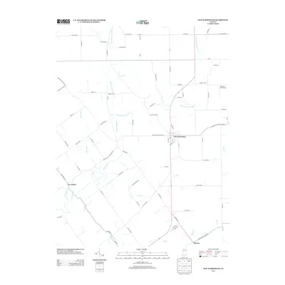
2013 Map of New Washington
USGS Topo · Published 2013About this map
New Washington serves as the central hub of this Clark County landscape, where the confluence of several significant waterways dictates the local geography. The area is defined by the branching paths of Fourteenmile Cr, including its East Fork Fourteenmile Cr and West Fork Fourteenmile Cr, which carve through the terrain alongside smaller tributaries like Polk Run and Flag Run.
Find a feature on this map
81 named features on this map. Tap any name to fly to it.
Don’t see what you’re looking for? This feature index may not catch every label — zoom into the map to look around manually.
Map Details
Editions of this 2013 New Washington Map
This is the sole edition of this map. No revisions or reprints were ever made.
Other maps of this area

1905 · Prospect
USGS Topo · 1:62,500

1912 · Prospect
USGS Topo · 1:62,500

1932 · La Grange
USGS Topo · 1:62,500

1937 · Charlestown
USGS Topo · 1:24,000

1938 · Owen
USGS Topo · 1:24,000

1939 · Bethlehem
USGS Topo · 1:24,000

1939 · Madison West
USGS Topo · 1:24,000

1948 · Bethlehem
USGS Topo · 1:24,000

1948 · Madison West
USGS Topo · 1:24,000

1948 · Owen
USGS Topo · 1:24,000