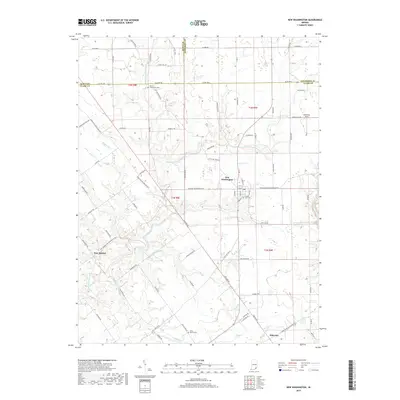
2019 Map of New Washington
USGS Topo · Published 2019About this map
New Washington sits at the heart of this Indiana landscape, where the convergence of rural roads and the waters of East Fork Fourteenmile Creek define the local geography. This survey provides a contemporary view of small settlements like New Market and Hibernia, which remain connected by a network of historical transit routes such as Nabb New Washington Rd W and Charlestown Bethlehem Rd. The area’s genealogical record is preserved in several burial grounds, including Crown Hill Cem near the town center and the outlying Olive Branch Cem.
Find a feature on this map
91 named features on this map. Tap any name to fly to it.
Don’t see what you’re looking for? This feature index may not catch every label — zoom into the map to look around manually.
Map Details
Editions of this 2019 New Washington Map
This is the sole edition of this map. No revisions or reprints were ever made.
Other maps of this area

1905 · Prospect
USGS Topo · 1:62,500

1912 · Prospect
USGS Topo · 1:62,500

1932 · La Grange
USGS Topo · 1:62,500

1937 · Charlestown
USGS Topo · 1:24,000

1938 · Owen
USGS Topo · 1:24,000

1939 · Bethlehem
USGS Topo · 1:24,000

1939 · Madison West
USGS Topo · 1:24,000

1948 · Bethlehem
USGS Topo · 1:24,000

1948 · Madison West
USGS Topo · 1:24,000

1948 · Owen
USGS Topo · 1:24,000