
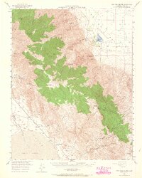
1950 Map of New York Butte
USGS Topo · Published 1958About this map
The Inyo Mountains dominate this 1950 survey, showcasing a high-altitude mining landscape defined by steep ridges and deep canyons. Prominent summits like New York Butte and Keynot Peak overlook a network of industrial operations, including the Black Warrior Mine and the Bonham Talc Mine. The eastern slope descends sharply toward the Saline Valley (Depression), where the dry bed of Salt Lake sits in isolation.
Find a feature on this map
42 named features on this map. Tap any name to fly to it.
Don’t see what you’re looking for? This feature index may not catch every label — zoom into the map to look around manually.
Map Details
Editions of this 1950 New York Butte Map
3 editions found
Other maps of this area

1905 · Olancha
USGS Topo · 1:125,000

1907 · Olancha
USGS Topo · 1:125,000

1907 · Mt. Whitney
USGS Topo · 1:125,000

1908 · Ballarat
USGS Topo · 1:250,000

1913 · Ballarat
USGS Topo · 1:250,000

1919 · Mt. Whitney
USGS Topo · 1:125,000

1937 · Mt. Whitney
USGS Topo · 1:125,000

1948 · Death Valley
USGS Topo · 1:250,000

1948 · Fresno
USGS Topo · 1:250,000

1950 · Darwin
USGS Topo · 1:62,500