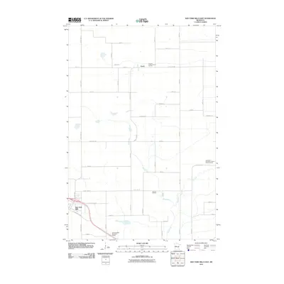
2010 Map of New York Mills East
USGS Topo · Published 2010About this map
The settlement of New York Mills anchors the southwest corner of this region, where industrial development and civic infrastructure meet the rural landscape of Otter Tail County. The area is defined by its deep Scandinavian heritage, evidenced by the presence of Saint Peter's Norwegian Lutheran Church and its accompanying Saint Peter's Norwegian Lutheran Church Cemetery, alongside Nazareth Lutheran Church and the Nazareth Cemetery. These spiritual and communal centers sit among a network of section roads like County Hwy-58 and County Hwy-56 that crisscross the agricultural terrain.
Find a feature on this map
40 named features on this map. Tap any name to fly to it.
Don’t see what you’re looking for? This feature index may not catch every label — zoom into the map to look around manually.
Map Details
Editions of this 2010 New York Mills East Map
This is the sole edition of this map. No revisions or reprints were ever made.
Other maps of this area

1953 · Brainerd
USGS Topo · 1:250,000

1957 · Brainerd
USGS Topo · 1:250,000

1958 · Brainerd
USGS Topo · 1:250,000

1965 · Brainerd
USGS Topo · 1:250,000

1969 · Sebeka SW
USGS Topo · 1:24,000

1969 · New York Mills NW
USGS Topo · 1:24,000

1969 · Sebeka NW
USGS Topo · 1:24,000

1969 · Heinola
USGS Topo · 1:24,000

1969 · New York Mills West
USGS Topo · 1:24,000

1969 · Wadena
USGS Topo · 1:24,000