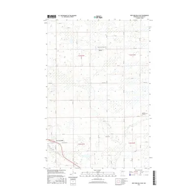
2016 Map of New York Mills East
USGS Topo · Published 2016About this map
New York Mills anchors the southwestern corner of this survey, where the town grid meets an expanding commercial footprint along Industrial Park Rd. The surrounding landscape is defined by the headwaters of Bluff Cr and Blue Cr, which wind through a patchwork of agricultural sections and wetlands. For genealogists and local historians, the map identifies key religious and burial sites that have served the community's Scandinavian and Lutheran heritage, including the Saint Peter's Norwegian Lutheran Church Cem and the Nazareth Lutheran Church Cem. The small settlement of Davies appears further north, situated along a network of county highways and township roads that delineate the rural sections. The infrastructure of the era is evident in the detailed labeling of local connectors like Co Hwy 84 and Minnesota St, reflecting the area's role as a regional hub in Otter Tail County.
Find a feature on this map
52 named features on this map. Tap any name to fly to it.
Don’t see what you’re looking for? This feature index may not catch every label — zoom into the map to look around manually.
Map Details
Editions of this 2016 New York Mills East Map
This is the sole edition of this map. No revisions or reprints were ever made.
Other maps of this area

1953 · Brainerd
USGS Topo · 1:250,000

1957 · Brainerd
USGS Topo · 1:250,000

1958 · Brainerd
USGS Topo · 1:250,000

1965 · Brainerd
USGS Topo · 1:250,000

1969 · Sebeka SW
USGS Topo · 1:24,000

1969 · New York Mills NW
USGS Topo · 1:24,000

1969 · Sebeka NW
USGS Topo · 1:24,000

1969 · Heinola
USGS Topo · 1:24,000

1969 · New York Mills West
USGS Topo · 1:24,000

1969 · Wadena
USGS Topo · 1:24,000