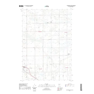
2019 Map of New York Mills East
USGS Topo · Published 2019About this map
New York Mills anchors the southwestern corner of this survey, where the local street grid transitions into the expansive agricultural landscape of Otter Tail County. The region is defined by a dense network of wetlands and small water bodies characteristic of this glacial terrain, drained in part by the winding course of Bluff Cr and Blue Cr. This 2019 data highlights the cultural footprint of the Norwegian Lutheran heritage through significant landmarks such as Saint Peter's Norwegian Lutheran Church Cem and the Nazareth Lutheran Church Cem. The rural settlement of Davies sits further north, connected by a rectangular grid of county highways and roads like Co Hwy 58 and Co Hwy 67. The presence of multiple cemeteries, including Nazareth Cem, provides specific points of interest for those tracing family history in these rural townships.
Find a feature on this map
38 named features on this map. Tap any name to fly to it.
Don’t see what you’re looking for? This feature index may not catch every label — zoom into the map to look around manually.
Map Details
Editions of this 2019 New York Mills East Map
This is the sole edition of this map. No revisions or reprints were ever made.
Other maps of this area

1953 · Brainerd
USGS Topo · 1:250,000

1957 · Brainerd
USGS Topo · 1:250,000

1958 · Brainerd
USGS Topo · 1:250,000

1965 · Brainerd
USGS Topo · 1:250,000

1969 · Sebeka SW
USGS Topo · 1:24,000

1969 · New York Mills NW
USGS Topo · 1:24,000

1969 · Sebeka NW
USGS Topo · 1:24,000

1969 · Heinola
USGS Topo · 1:24,000

1969 · New York Mills West
USGS Topo · 1:24,000

1969 · Wadena
USGS Topo · 1:24,000