
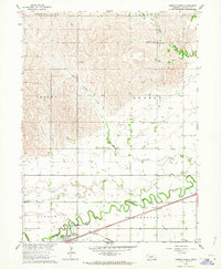
1962 Map of Newark
USGS Topo · Published 1963About this map
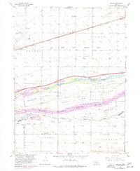
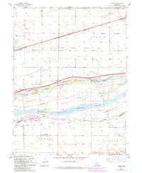
The complex braided channels of the Platte River dominate this 1962 topography, revealing a landscape defined by water and western migration. The Fort Kearney Military Reservation Boundary and Fort Kearney State Park anchor the center of the sheet, preserving the site of the vital 19th-century outpost. North of the river, the Union Pacific railroad runs through the small settlement of Buda, while to the south, the Chicago Burlington and Quincy line serves the community of Newark. The intricate network of the North Channel, Middle Channel, and South Channel creates large mid-river landmasses such as Killgore Island and Elm Island. Rural life is marked by several local institutions, including School No 75 and School No 40, alongside transportation hubs like Kearney Municipal Airport and Schmidt Airfield.
Find a feature on this map
32 named features on this map. Tap any name to fly to it.
Don’t see what you’re looking for? This feature index may not catch every label — zoom into the map to look around manually.
Map Details
Editions of this 1962 Newark Map
3 editions found
Other maps of this area

1894 · Kearney
USGS Topo · 1:62,500

1894 · Minden
USGS Topo · 1:62,500

1896 · Kearney
USGS Topo · 1:125,000

1896 · Wood River
USGS Topo · 1:125,000

1955 · Grand Island
USGS Topo · 1:250,000

1957 · Grand Island
USGS Topo · 1:250,000

1958 · Grand Island
USGS Topo · 1:250,000
1962 · Pleasanton SE
USGS Topo · 1:24,000
1962 · Kearney
USGS Topo · 1:24,000
1962 · Gibbon North
USGS Topo · 1:24,000