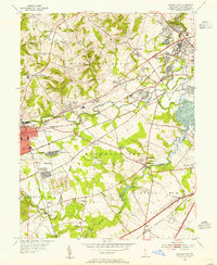
1953 Map of Newark East
USGS Topo · Published 1955About this map
The Christina River and its major tributaries, including White Clay Creek and Red Clay Creek, define the industrial and residential landscape of western New Castle County during the early 1950s. This survey records a period of suburban expansion emerging from the industrial corridors of the Baltimore and Ohio RR and the Pennsylvania RR. The city of Newark is shown in detail, including the U of Del Stadium and the specialized medical facilities at Bissell Sanatorium.
Find a feature on this map
70 named features on this map. Tap any name to fly to it.
Don’t see what you’re looking for? This feature index may not catch every label — zoom into the map to look around manually.
Map Details
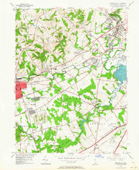
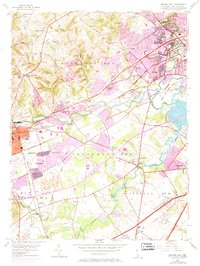
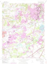
Editions of this 1953 Newark East Map
4 editions found
Other maps of this area

1898 · Elkton
USGS Topo · 1:62,500

1900 · Elkton
USGS Topo · 1:62,500

1901 · West Chester
USGS Topo · 1:62,500

1904 · West Chester
USGS Topo · 1:62,500

1904 · Coatesville
USGS Topo · 1:62,500

1904 · Wilmington
USGS Topo · 1:62,500

1906 · Coatesville
USGS Topo · 1:62,500

1906 · Wilmington
USGS Topo · 1:62,500

1917 · Elkton
USGS Topo · 1:62,500

1918 · Coatesville
USGS Topo · 1:62,500