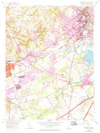
1953 Map of Newark East
USGS Topo · Published 1971About this map
Newark serves as the focal point for this 1953 survey, which reveals a landscape in rapid transition as residential areas like Brookside and Delaplane Manor began to fill the spaces between historic crossroads. The map documents the intricate rail network of the Baltimore and Ohio and Penn Central, which supported the region's industrial growth near Marshallton and Stanton.
Find a feature on this map
62 named features on this map. Tap any name to fly to it.
Don’t see what you’re looking for? This feature index may not catch every label — zoom into the map to look around manually.
Map Details
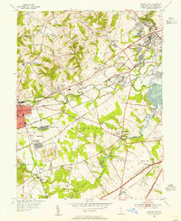
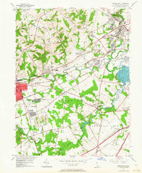
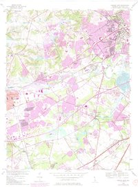
Editions of this 1953 Newark East Map
4 editions found
Other maps of this area

1898 · Elkton
USGS Topo · 1:62,500

1900 · Elkton
USGS Topo · 1:62,500

1901 · West Chester
USGS Topo · 1:62,500

1904 · West Chester
USGS Topo · 1:62,500

1904 · Coatesville
USGS Topo · 1:62,500

1904 · Wilmington
USGS Topo · 1:62,500

1906 · Coatesville
USGS Topo · 1:62,500

1906 · Wilmington
USGS Topo · 1:62,500

1917 · Elkton
USGS Topo · 1:62,500

1918 · Coatesville
USGS Topo · 1:62,500