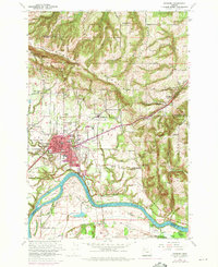
1961 Map of Newberg
USGS Topo · Published 1971About this map
Newberg sits at a critical bend of the Willamette River, where the Southern Pacific railroad meets a landscape of orchards and upland ridges. The northern half of the sheet is dominated by the Chehalem Mountains, rising toward Bald Peak and Mountain Home, while the southern reaches descend into the fertile French Prairie. This 1960s-era documentation highlights the area's agricultural and transit roots, noting the Gearns Ferry (Site) and the historic grounds of Champoeg State Park across the river in Marion County.
Find a feature on this map
73 named features on this map. Tap any name to fly to it.
Don’t see what you’re looking for? This feature index may not catch every label — zoom into the map to look around manually.
Map Details
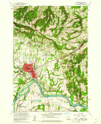
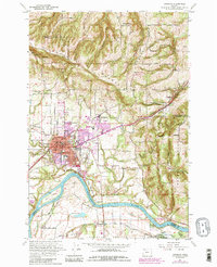
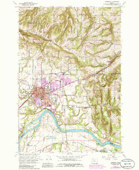
Editions of this 1961 Newberg Map
4 editions found
Other maps of this area

1916 · Tualatin
USGS Topo · 1:62,500

1923 · Mount Angel
USGS Topo · 1:62,500

1924 · Mc Minnville
USGS Topo · 1:48,000

1926 · Mc Minnville
USGS Topo · 1:62,500

1939 · Tualatin
USGS Topo · 1:62,500

1940 · McMinnville
USGS Topo · 1:62,500

1940 · Tualatin
USGS Topo · 1:62,500

1940 · Mount Angel
USGS Topo · 1:62,500

1941 · Yamhill
USGS Topo · 1:62,500

1942 · Yamhill
USGS Topo · 1:62,500