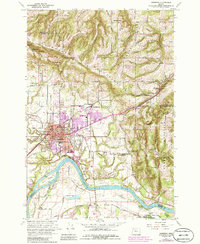
1961 Map of Newberg
USGS Topo · Published 1985About this map
Newberg serves as the focal point for this Yamhill County survey, which chronicles the mid-century expansion of the city alongside its agricultural and industrial roots. The landscape is defined by the Willamette River winding south of town, where the historical Ash Island Ferry and the Gearns Ferry location mark older river crossings. To the north, the Chehalem Mountains and Parrett Mountain rise above the valley floor, interspersed with orchards and quarries.
Find a feature on this map
58 named features on this map. Tap any name to fly to it.
Don’t see what you’re looking for? This feature index may not catch every label — zoom into the map to look around manually.
Map Details
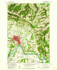
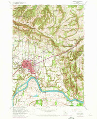
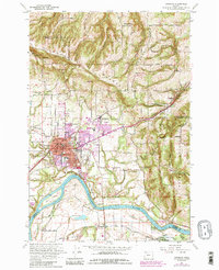
Editions of this 1961 Newberg Map
4 editions found
Other maps of this area

1916 · Tualatin
USGS Topo · 1:62,500

1923 · Mount Angel
USGS Topo · 1:62,500

1924 · Mc Minnville
USGS Topo · 1:48,000

1926 · Mc Minnville
USGS Topo · 1:62,500

1939 · Tualatin
USGS Topo · 1:62,500

1940 · McMinnville
USGS Topo · 1:62,500

1940 · Tualatin
USGS Topo · 1:62,500

1940 · Mount Angel
USGS Topo · 1:62,500

1941 · Yamhill
USGS Topo · 1:62,500

1942 · Yamhill
USGS Topo · 1:62,500