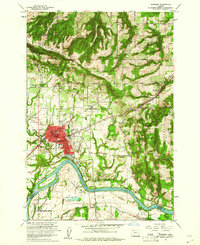
1961 Map of Newberg
USGS Topo · Published 1961About this map
The Willamette River anchors this 1961 survey, winding past the agricultural flats of French Prairie and the developing core of Newberg. The town's educational and civic footprint is well-defined, featuring George Fox College, the Mabel Rush Sch, and the National Guard Armory. To the south, the river bends around Ash Island and passes the Gearns Ferry (Site), a nod to earlier river crossings. The landscape transitions from the river valley into the timbered slopes of the Chehalem Mountains to the north and Parrett Mountain to the east.
Find a feature on this map
67 named features on this map. Tap any name to fly to it.
Don’t see what you’re looking for? This feature index may not catch every label — zoom into the map to look around manually.
Map Details
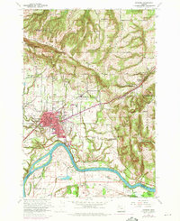
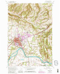
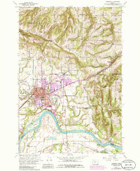
Editions of this 1961 Newberg Map
4 editions found
Other maps of this area

1916 · Tualatin
USGS Topo · 1:62,500

1923 · Mount Angel
USGS Topo · 1:62,500

1924 · Mc Minnville
USGS Topo · 1:48,000

1926 · Mc Minnville
USGS Topo · 1:62,500

1939 · Tualatin
USGS Topo · 1:62,500

1940 · McMinnville
USGS Topo · 1:62,500

1940 · Tualatin
USGS Topo · 1:62,500

1940 · Mount Angel
USGS Topo · 1:62,500

1941 · Yamhill
USGS Topo · 1:62,500

1942 · Yamhill
USGS Topo · 1:62,500