
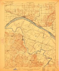
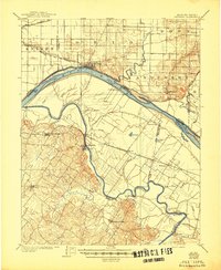
1905 Map of Newburg
USGS Topo · Published 1905About this map
The confluence of the Ohio River and Green River defines this 1905 landscape, where a sophisticated network of ferries and railroads facilitated movement between the bottomlands of Kentucky and Indiana. Newburg sits as a primary riverside hub, served by the Evansville Suburban And Newburg RR, while to the south, river crossings like Mason Ferry and Hamilton Ferry provided essential transit across the winding Green River.
Find a feature on this map
51 named features on this map. Tap any name to fly to it.
Don’t see what you’re looking for? This feature index may not catch every label — zoom into the map to look around manually.
Map Details
Editions of this 1905 Newburg Map
3 editions found
Other maps of this area

1900 · De Gonia Springs
USGS Topo · 1:62,500

1901 · Owensboro
USGS Topo · 1:62,500

1901 · Haubstadt
USGS Topo · 1:62,500

1902 · Ditney
USGS Topo · 1:125,000

1902 · Degonia Springs
USGS Topo · 1:62,500

1902 · Boonville
USGS Topo · 1:62,500

1903 · Haubstadt
USGS Topo · 1:62,500

1903 · Patoka
USGS Topo · 1:125,000

1906 · Sebree
USGS Topo · 1:62,500

1906 · Sutherland
USGS Topo · 1:62,500