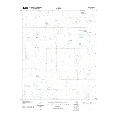
2010 Map of Newby
USGS Topo · Published 2010About this map
Tuskegee and Newby serve as the primary anchors for this Creek County landscape, where a sophisticated water management network of reservoirs and dams dominates the local geography. The hydrology of Little Deep Fork Creek is heavily modified by a series of numbered projects, including Little Deep Fork Creek Site 48 Reservoir and Little Deep Fork Creek Site 58b Reservoir, reflecting mid-to-late 20th-century conservation and flood control efforts. These engineered bodies of water, alongside larger features like Jim Day Lake, sit in contrast to the region's older foundations. For genealogists, the placement of Tuskegee Cemetery, Wilson Cemetery, and Mount Harman Cemetery provides essential geographic context for family lineages. The road system, largely following the section lines of the public land survey, creates a rigid grid that connects these water features and small settlements, illustrating the intersection of rural Oklahoma life and state-managed natural resources.
Find a feature on this map
29 named features on this map. Tap any name to fly to it.
Don’t see what you’re looking for? This feature index may not catch every label — zoom into the map to look around manually.
Map Details
Editions of this 2010 Newby Map
This is the sole edition of this map. No revisions or reprints were ever made.
Other maps of this area

1901 · Nuyaka
USGS Topo · 1:125,000

1914 · Kiefer
USGS Topo · 1:62,500

1916 · Kiefer
USGS Topo · 1:62,500

1916 · Bristow
USGS Topo · 1:62,500

1954 · Oklahoma City
USGS Topo · 1:250,000

1957 · Oklahoma City
USGS Topo · 1:250,000

1963 · Oklahoma City
USGS Topo · 1:250,000
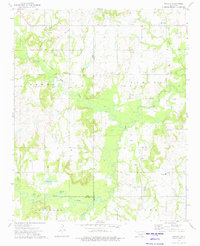
1973 · Nuyaka
USGS Topo · 1:24,000
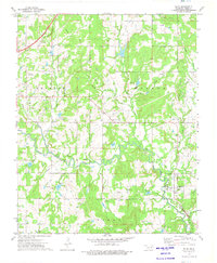
1973 · Slick
USGS Topo · 1:24,000
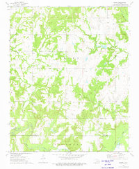
1973 · Newby
USGS Topo · 1:24,000