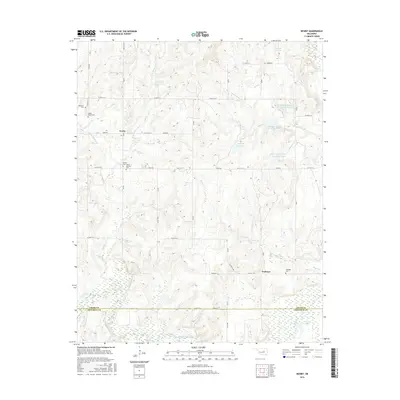
2016 Map of Newby
USGS Topo · Published 2016About this map
Tuskegee and Newby serve as the primary focal points for this rural landscape situated near the southern boundary of Creek County. The southern edge of the survey follows the meandering Deep Fork river, where it crosses into Okfuskee County near Walnut Cr and Jim Day Lake. This region is defined by a dense network of water management and small-scale agriculture, evidenced by several numbered reservoirs such as Little Deep Fork Cr Site 49 Reservoir and 037058 Reservoir that punctuate the drainages of Hopper Cr and McKennon Cr. For those tracing local families, the map preserves several rural burial grounds, including the Tuskegee Cem and the Mount Harman Cem, providing geographic context for early 21st-century Creek County genealogy. The road system, characterized by rural routes like e0910 RD, reflects the grid-based land division that continues to shape the Oklahoma landscape.
Find a feature on this map
37 named features on this map. Tap any name to fly to it.
Don’t see what you’re looking for? This feature index may not catch every label — zoom into the map to look around manually.
Map Details
Editions of this 2016 Newby Map
This is the sole edition of this map. No revisions or reprints were ever made.
Other maps of this area

1901 · Nuyaka
USGS Topo · 1:125,000

1914 · Kiefer
USGS Topo · 1:62,500

1916 · Kiefer
USGS Topo · 1:62,500

1916 · Bristow
USGS Topo · 1:62,500

1954 · Oklahoma City
USGS Topo · 1:250,000

1957 · Oklahoma City
USGS Topo · 1:250,000

1963 · Oklahoma City
USGS Topo · 1:250,000
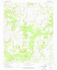
1973 · Nuyaka
USGS Topo · 1:24,000
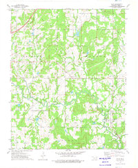
1973 · Slick
USGS Topo · 1:24,000
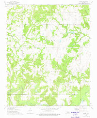
1973 · Newby
USGS Topo · 1:24,000