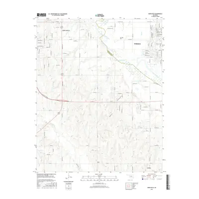
2016 Map of Newcastle
USGS Topo · Published 2016About this map
Newcastle and the western reaches of Norman anchor this Oklahoma landscape as it appeared in the mid-2010s, defined by the wide, shifting course of the Canadian River. The river forms a natural boundary between Cleveland and McClain Counties, carving through the alluvial expanse of Ten Mile Flat. To the north, the terrain is marked by suburban expansion and established landmarks like Mt Williams and the Warten Cem, while the southern portion of the sheet transitions into the more open areas near Cole and Goldsby.
Find a feature on this map
49 named features on this map. Tap any name to fly to it.
Don’t see what you’re looking for? This feature index may not catch every label — zoom into the map to look around manually.
Map Details
Editions of this 2016 Newcastle Map
This is the sole edition of this map. No revisions or reprints were ever made.
Other maps of this area

1892 · Moore
USGS Topo · 1:62,500

1893 · Norman
USGS Topo · 1:62,500

1893 · Oklahoma City
USGS Topo · 1:62,500

1898 · Purcell
USGS Topo · 1:125,000

1904 · Chickasha
USGS Topo · 1:125,000

1925 · Norman NO 2
USGS Topo · 1:24,000

1934 · Moore
USGS Topo · 1:62,500

1936 · Norman
USGS Topo · 1:62,500

1938 · Moore
USGS Topo · 1:62,500

1954 · Oklahoma City
USGS Topo · 1:250,000