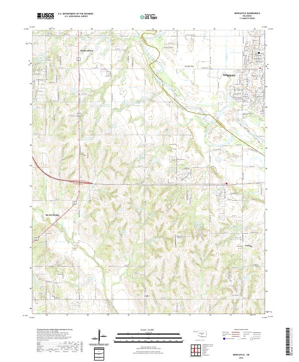
2022 Map of Newcastle
USGS Topo · Published 2022About this map
Newcastle and Norman sit on opposite banks of the Canadian River in this modern topographic record, which highlights the suburban expansion and water management across the McClain and Cleveland county lines. The landscape is defined by a dense network of residential streets and named reservoirs, such as 087019 Reservoir and 087013 Reservoir, reflecting the development of the Oklahoma City metropolitan fringe. The survey tracks the drainage patterns of N Fork Walnut Cr and Pond Cr, alongside significant landmarks like Mt Williams and the Bison Hill Airport. To the south and west, the smaller communities of Blanchard, Goldsby, and Cole appear amidst a terrain characterized by Ten Mile Flat, illustrating the transition from established riverfront cities to emerging residential outskirts.
Find a feature on this map
142 named features on this map. Tap any name to fly to it.
Don’t see what you’re looking for? This feature index may not catch every label — zoom into the map to look around manually.
Map Details
Editions of this 2022 Newcastle Map
This is the sole edition of this map. No revisions or reprints were ever made.
Other maps of this area

1892 · Moore
USGS Topo · 1:62,500

1893 · Norman
USGS Topo · 1:62,500

1893 · Oklahoma City
USGS Topo · 1:62,500

1898 · Purcell
USGS Topo · 1:125,000

1904 · Chickasha
USGS Topo · 1:125,000

1925 · Norman NO 2
USGS Topo · 1:24,000

1934 · Moore
USGS Topo · 1:62,500

1936 · Norman
USGS Topo · 1:62,500

1938 · Moore
USGS Topo · 1:62,500

1954 · Oklahoma City
USGS Topo · 1:250,000