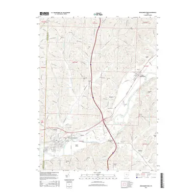
2016 Map of Newcomerstown
USGS Topo · Published 2016About this map
Newcomerstown and Port Washington anchor this modern landscape along the banks of the Tuscarawas River, where the historic transportation corridors of Ohio’s river valleys continue to shape local development. The presence of numerous burial sites, including Union Cemeteries, Moravian Cem, and the East State Street Cem, reflects a deep genealogical footprint in this part of Tuscarawas County. Beyond the primary river valley, smaller settlements like Glasgow, Wolf, and Bernice are situated among a series of named ridges and knobs. Distinctive geographical landmarks such as Umbrella Rock, Elephant Knob, and Backus Knob rise above the surrounding terrain, while agricultural tracts like the Stark Patent Bottom and Nugent Bottom occupy the fertile floodplains. The network of township roads and county highways connects these rural outposts to the larger centers of Mizers and Coalport, tracing the path of the river and the Railroad Street corridor.
Find a feature on this map
170 named features on this map. Tap any name to fly to it.
Don’t see what you’re looking for? This feature index may not catch every label — zoom into the map to look around manually.
Map Details
Editions of this 2016 Newcomerstown Map
This is the sole edition of this map. No revisions or reprints were ever made.
Other maps of this area

1909 · Antrim
USGS Topo · 1:48,000

1909 · Uhrichsville
USGS Topo · 1:62,500

1909 · Cambridge
USGS Topo · 1:62,500

1911 · Antrim
USGS Topo · 1:62,500

1911 · Uhrichsville
USGS Topo · 1:62,500

1911 · Newcomerstown
USGS Topo · 1:62,500

1912 · Cambridge
USGS Topo · 1:62,500

1913 · Newcomerstown
USGS Topo · 1:62,500

1943 · Newcomerstown
USGS Topo · 1:62,500

1951 · Canton
USGS Topo · 1:250,000