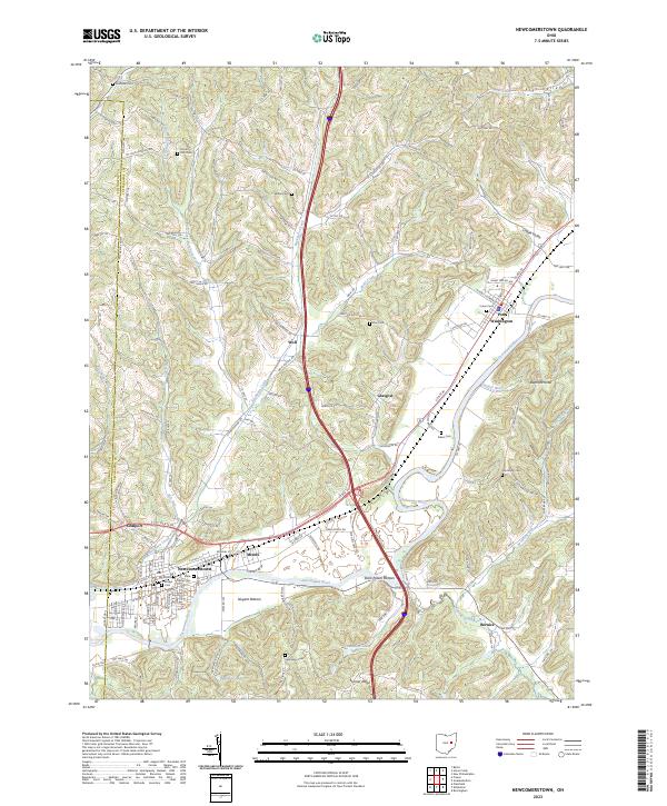
2023 Map of Newcomerstown
USGS Topo · Published 2023About this map
Newcomerstown and Port Washington serve as the primary hubs in this valley landscape, where the Tuscarawas River carves a path through the hills of eastern Ohio. The river's influence is seen in the naming of fertile lowlands like Nugent Bottom and Stark Patent Bottom, while the surrounding terrain is defined by elevations such as Elephant Knob and Sigel Johns Hill. Smaller settlements and junctions like Coalport, Mizers, and Bernice dot the map, connected by a network of county and township roads that follow the drainage patterns of Buckhorn Creek and Wolf Creek. Genealogists will find a significant distribution of local burial grounds, including South Street Cem in the heart of Newcomerstown and Union Cem near Port Washington, alongside rural sites like Bethel Cem and Dye Cem that mark the established history of this rural region.
Find a feature on this map
147 named features on this map. Tap any name to fly to it.
Don’t see what you’re looking for? This feature index may not catch every label — zoom into the map to look around manually.
Map Details
Editions of this 2023 Newcomerstown Map
This is the sole edition of this map. No revisions or reprints were ever made.
Other maps of this area

1909 · Antrim
USGS Topo · 1:48,000

1909 · Uhrichsville
USGS Topo · 1:62,500

1909 · Cambridge
USGS Topo · 1:62,500

1911 · Antrim
USGS Topo · 1:62,500

1911 · Uhrichsville
USGS Topo · 1:62,500

1911 · Newcomerstown
USGS Topo · 1:62,500

1912 · Cambridge
USGS Topo · 1:62,500

1913 · Newcomerstown
USGS Topo · 1:62,500

1943 · Newcomerstown
USGS Topo · 1:62,500

1951 · Canton
USGS Topo · 1:250,000