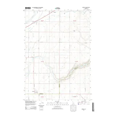
2013 Map of Newdale
USGS Topo · Published 2013About this map
Agricultural life in eastern Idaho defines the landscape between the Teton River and the northern reach of Henry's Fork. The small settlement of Newdale anchors the southern boundary, while Chester sits to the north near the Chester Cem. This region is defined by a sophisticated water management network, essential for high-elevation farming, featuring the Crosscut Canal, Fall River Canal, and Canyon Cr Canal.
Find a feature on this map
53 named features on this map. Tap any name to fly to it.
Don’t see what you’re looking for? This feature index may not catch every label — zoom into the map to look around manually.
Map Details
Editions of this 2013 Newdale Map
This is the sole edition of this map. No revisions or reprints were ever made.
Other maps of this area

1949 · Newdale
USGS Topo · 1:24,000

1950 · Newdale
USGS Topo · 1:24,000

1950 · St Anthony
USGS Topo · 1:24,000

1951 · Moody
USGS Topo · 1:24,000

1951 · White Owl Butte
USGS Topo · 1:24,000

1955 · Ashton
USGS Topo · 1:250,000

1955 · Driggs
USGS Topo · 1:250,000

1958 · Driggs
USGS Topo · 1:250,000

1958 · Ashton
USGS Topo · 1:250,000

1960 · Ashton
USGS Topo · 1:250,000