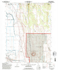
1993 Map of Newell
USGS Topo · Published 1996About this map
Newell occupies a unique landscape where the industrial infrastructure of agricultural reclamation meets the rising slopes of the Modoc National Forest. This region is defined by an extensive network of water management features, including a complex system of Ditch and Canal lines alongside a Spoil Bank and Rd On Levee. The terrain transitions from the low-lying basin of Copic Bay and the Tulelake Airport to prominent volcanic-era landmarks such as Little Horse Mountain and Horse Mountain. The settlement pattern reflects a legacy of high-desert ranching, evidenced by family-named holdings like the Old Elliot Ranch, Jim Horn Ranch, and Mike Faine Ranch. Scattered throughout are functional landmarks of the era's commerce and utility, from a Wooden Pole Transmission Line to various Storage Bins, while the Oregon California state line and Klamath Co Modoc Co boundary intersect at the northern edge of this surveyed area.
Find a feature on this map
33 named features on this map. Tap any name to fly to it.
Don’t see what you’re looking for? This feature index may not catch every label — zoom into the map to look around manually.
Map Details
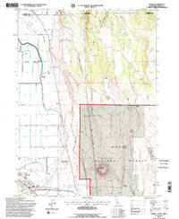
Editions of this 1993 Newell Map
2 editions found
Other maps of this area

1886 · Modoc Lava Bed
USGS Topo · 1:250,000

1889 · Klamath
USGS Topo · 1:250,000

1892 · Modoc Lava-Bed
USGS Topo · 1:250,000

1894 · Klamath
USGS Topo · 1:250,000

1951 · Clear Lake Reservoir
USGS Topo · 1:62,500

1951 · Tulelake
USGS Topo · 1:62,500

1954 · Alturas
USGS Topo · 1:250,000

1955 · Klamath Falls
USGS Topo · 1:250,000

1957 · Malin
USGS Topo · 1:62,500

1958 · Alturas
USGS Topo · 1:250,000