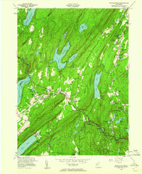
1954 Map of Newfoundland
USGS Topo · Published 1960About this map
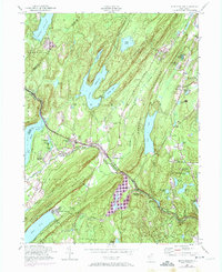
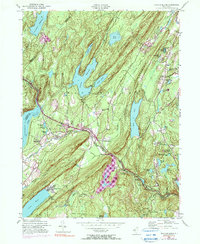
The Pequannock River valley serves as the central corridor for this 1954 revision, where the New York Susquehanna and Western railroad tracks follow the water's edge through Newfoundland and Charlotteburg. The mid-century landscape is defined by its massive water management systems, including the Clinton Reservoir, Canistear Reservoir, and Oak Ridge Reservoir, which dominate the surrounding ridges. These reservoirs represent the early 20th-century expansion of regional water infrastructure, transforming former valley floor lands into critical resources.
Find a feature on this map
57 named features on this map. Tap any name to fly to it.
Don’t see what you’re looking for? This feature index may not catch every label — zoom into the map to look around manually.
Map Details
Editions of this 1954 Newfoundland Map
6 editions found
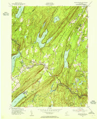
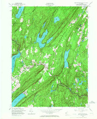
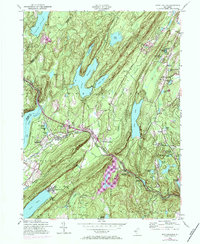
Other maps of this area

1888 · Franklin
USGS Topo · 1:62,500

1888 · Morristown
USGS Topo · 1:62,500

1888 · Lake Hopatcong
USGS Topo · 1:62,500

1891 · Greenwood Lake
USGS Topo · 1:62,500

1893 · Greenwood Lake
USGS Topo · 1:62,500

1894 · Morristown
USGS Topo · 1:62,500

1894 · Lake Hopatcong
USGS Topo · 1:62,500

1894 · Franklin
USGS Topo · 1:62,500

1897 · Franklin
USGS Topo · 1:62,500

1898 · Lake Hopatcong
USGS Topo · 1:62,500