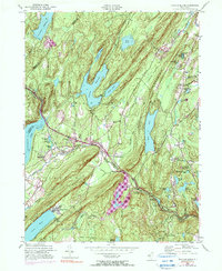
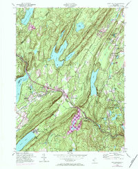
1954 Map of Newfoundland
USGS Topo · Published 1990About this map
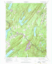
Newfoundland and Charlotteburg sit at the geographic heart of this mid-century New Jersey landscape, where the Pequannock River carves a path through the steep ridges of Kanouse Mountain and Jefferson Mountain. The era's transportation network is defined by the New York Susquehanna and Western railroad, which follows the river valley alongside rural arteries like Paradise Road. Significant water management features dominate the terrain, including the sprawling Clinton Reservoir and the Macopin Reservoir, illustrating the region's role in supplying water to growing urban centers. Local genealogy and history are preserved in markers such as the Vreeland Cem, Oak Ridge Cem, and St Joseph Ch. The 1970s updates reveal the emergence of planned communities like Smoke Rise, contrasted against older hamlets like Postville and Macopin.
Find a feature on this map
90 named features on this map. Tap any name to fly to it.
Don’t see what you’re looking for? This feature index may not catch every label — zoom into the map to look around manually.
Map Details
Editions of this 1954 Newfoundland Map
6 editions found
Other maps of this area

1888 · Franklin
USGS Topo · 1:62,500

1888 · Morristown
USGS Topo · 1:62,500

1888 · Lake Hopatcong
USGS Topo · 1:62,500

1891 · Greenwood Lake
USGS Topo · 1:62,500

1893 · Greenwood Lake
USGS Topo · 1:62,500

1894 · Morristown
USGS Topo · 1:62,500

1894 · Lake Hopatcong
USGS Topo · 1:62,500

1894 · Franklin
USGS Topo · 1:62,500

1897 · Franklin
USGS Topo · 1:62,500

1898 · Lake Hopatcong
USGS Topo · 1:62,500