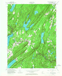
1954 Map of Newfoundland
USGS Topo · Published 1967About this map
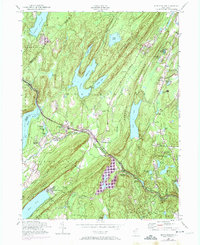
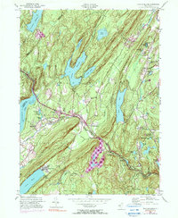
The Pequannock River corridor serves as the primary artery through this Highland landscape, where the New York Susquehanna and Western RR parallels its course through Newfoundland. The 1954 culture revision reveals a region defined by its significant water infrastructure, featuring the Canistear Reservoir, Clinton Reservoir, and Echo Lake. These water bodies are flanked by the steep ridges of Bearfort Mountain and Kanouse Mountain, which constrained settlement to the valleys and plateaus.
Find a feature on this map
58 named features on this map. Tap any name to fly to it.
Don’t see what you’re looking for? This feature index may not catch every label — zoom into the map to look around manually.
Map Details
Editions of this 1954 Newfoundland Map
6 editions found
Other maps of this area

1888 · Franklin
USGS Topo · 1:62,500

1888 · Morristown
USGS Topo · 1:62,500

1888 · Lake Hopatcong
USGS Topo · 1:62,500

1891 · Greenwood Lake
USGS Topo · 1:62,500

1893 · Greenwood Lake
USGS Topo · 1:62,500

1894 · Morristown
USGS Topo · 1:62,500

1894 · Lake Hopatcong
USGS Topo · 1:62,500

1894 · Franklin
USGS Topo · 1:62,500

1897 · Franklin
USGS Topo · 1:62,500

1898 · Lake Hopatcong
USGS Topo · 1:62,500