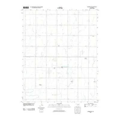
2009 Map of Newkirk SW
USGS Topo · Published 2009About this map
Oil and gas production defines the industrial character of this Kay County landscape, where numerous energy fields are interspersed with rural homesteads and agricultural sections. The map records several major operations, including the Blackwell Southeast Oil and Gas Field and the Garrett West Oil and Gas Field. Water management is centered around the Lost Duck Creeks Site D-1 Reservoir, controlled by the Lost Duck Creeks Site D-1 Dam, which regulates the drainage of Duck Creek as it flows south. Genealogists will find the locations of Banner Cemetery and Saint Johns Cemetery preserved here, serving as quiet landmarks amidst a grid of section roads like W Brake Rd and W Ferguson Ave that connect this productive prairie region.
Find a feature on this map
22 named features on this map. Tap any name to fly to it.
Don’t see what you’re looking for? This feature index may not catch every label — zoom into the map to look around manually.
Map Details
Editions of this 2009 Newkirk SW Map
This is the sole edition of this map. No revisions or reprints were ever made.
Other maps of this area

1955 · Enid
USGS Topo · 1:250,000

1958 · Enid
USGS Topo · 1:250,000

1967 · Braman
USGS Topo · 1:24,000

1968 · Ponca City NW
USGS Topo · 1:24,000
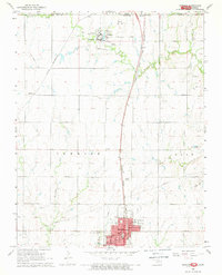
1968 · Newkirk
USGS Topo · 1:24,000

1968 · Tonkawa
USGS Topo · 1:24,000

1968 · Kildare
USGS Topo · 1:24,000

1968 · Blackwell
USGS Topo · 1:24,000
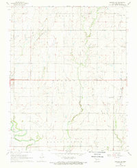
1968 · Newkirk SW
USGS Topo · 1:24,000
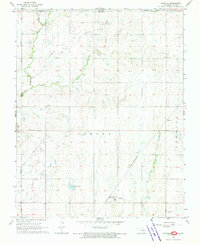
1968 · Peckham
USGS Topo · 1:24,000