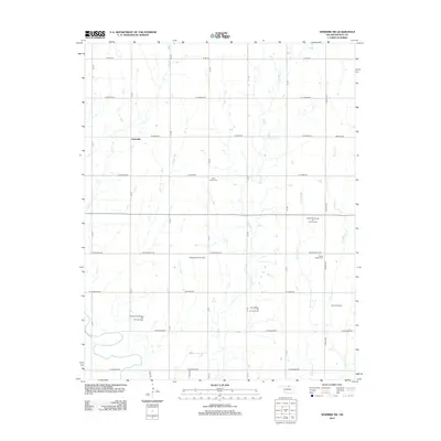
2012 Map of Newkirk SW
USGS Topo · Published 2012About this map
Grainville anchors the northwestern corner of this Kay County landscape, a region defined by a systematic grid of section roads and a long-standing petroleum economy. The drainage patterns of Lost Cr and Duck Cr cut across the agricultural blocks, revealing the subtle topography of the Oklahoma plains. This 2012 survey illustrates the extensive energy infrastructure of the region, featuring several large-scale operations such as the Northwest Garrett Oil and Gas Field and the Blackwell East Oil Field.
Find a feature on this map
38 named features on this map. Tap any name to fly to it.
Don’t see what you’re looking for? This feature index may not catch every label — zoom into the map to look around manually.
Map Details
Editions of this 2012 Newkirk SW Map
This is the sole edition of this map. No revisions or reprints were ever made.
Other maps of this area

1955 · Enid
USGS Topo · 1:250,000

1958 · Enid
USGS Topo · 1:250,000

1967 · Braman
USGS Topo · 1:24,000

1968 · Ponca City NW
USGS Topo · 1:24,000
1968 · Newkirk
USGS Topo · 1:24,000

1968 · Tonkawa
USGS Topo · 1:24,000

1968 · Kildare
USGS Topo · 1:24,000

1968 · Blackwell
USGS Topo · 1:24,000
1968 · Newkirk SW
USGS Topo · 1:24,000
1968 · Peckham
USGS Topo · 1:24,000