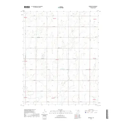
2018 Map of Newkirk SW
USGS Topo · Published 2018About this map
Grainville is situated at the intersection of W Brake Rd and N R St, serving as a central point in this northern Kay County landscape. The area is defined by a rigid grid of section-line roads, including the Indian Meridian Tl, which illustrates the systematic land division of the Oklahoma prairie. Several small burial grounds, such as Saint Johns Cem and Banner Cem, are dispersed across the township, providing essential focal points for family history and genealogical research in this rural district.
Find a feature on this map
47 named features on this map. Tap any name to fly to it.
Don’t see what you’re looking for? This feature index may not catch every label — zoom into the map to look around manually.
Map Details
Editions of this 2018 Newkirk SW Map
This is the sole edition of this map. No revisions or reprints were ever made.
Other maps of this area

1955 · Enid
USGS Topo · 1:250,000

1958 · Enid
USGS Topo · 1:250,000

1967 · Braman
USGS Topo · 1:24,000

1968 · Ponca City NW
USGS Topo · 1:24,000
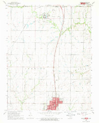
1968 · Newkirk
USGS Topo · 1:24,000

1968 · Tonkawa
USGS Topo · 1:24,000

1968 · Kildare
USGS Topo · 1:24,000

1968 · Blackwell
USGS Topo · 1:24,000
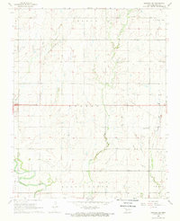
1968 · Newkirk SW
USGS Topo · 1:24,000
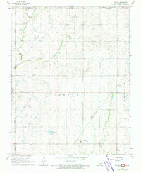
1968 · Peckham
USGS Topo · 1:24,000