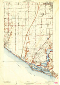
1935 Map of Newport Beach
USGS Topo · Published 1935About this map
The Santa Ana River carves through the coastal plain of Orange County, dividing a landscape of citrus groves and expanding residential colonies during the mid-1930s. The coastline is defined by the developed peninsula of Newport Beach and the distinctive dredge-and-fill projects of Lido Isle and Balboa Island. Inland, the agricultural roots of the region are evident in the grid of small truck-farming settlements like Colonia Juarez, Wintersburg, and Smeltzer, many of which were centers for the local sugar beet industry as indicated by the proximity of Sugar. Transport networks of the Pacific Electric railway and the Pacific Coast Highway demonstrate the area's transition into a modern suburban and recreational hub. The map captures Costa Mesa and Santa Ana Heights atop the Mesa, overlooking the tidal marshes and channels of Newport Bay before the heavy post-war development of the California coast.
Find a feature on this map
50 named features on this map. Tap any name to fly to it.
Don’t see what you’re looking for? This feature index may not catch every label — zoom into the map to look around manually.
Map Details
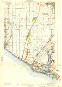
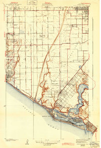
Editions of this 1935 Newport Beach Map
3 editions found
Other maps of this area

1896 · Santa Ana
USGS Topo · 1:62,500

1896 · Anaheim
USGS Topo · 1:62,500

1896 · Las Bolsas
USGS Topo · 1:62,500

1896 · Downey
USGS Topo · 1:62,500

1898 · Anaheim
USGS Topo · 1:62,500

1899 · Downey
USGS Topo · 1:62,500

1901 · Southern California Sheet No. 1
USGS Topo · 1:250,000

1901 · Santa Ana
USGS Topo · 1:62,500

1901 · Anaheim
USGS Topo · 1:62,500

1902 · Downey
USGS Topo · 1:62,500