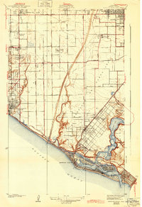
1935 Map of Newport Beach
USGS Topo · Published 1943About this map
Santa Ana and the coastal reaches of the Santa Ana River anchor this mid-1930s survey of Orange County's shoreline. The map reveals a transition from the agricultural grid of the interior to the emerging recreational and residential hubs of Newport Beach. Along the waterfront, the intricate geography of Newport Bay is shown in detail, featuring Lido Isle and Balboa Island, while the Coast Highway traces the edge of the Pacific Ocean.
Find a feature on this map
65 named features on this map. Tap any name to fly to it.
Don’t see what you’re looking for? This feature index may not catch every label — zoom into the map to look around manually.
Map Details
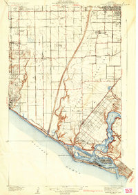
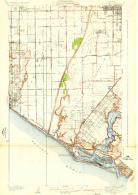
Editions of this 1935 Newport Beach Map
3 editions found
Other maps of this area

1896 · Santa Ana
USGS Topo · 1:62,500

1896 · Anaheim
USGS Topo · 1:62,500

1896 · Las Bolsas
USGS Topo · 1:62,500

1896 · Downey
USGS Topo · 1:62,500

1898 · Anaheim
USGS Topo · 1:62,500

1899 · Downey
USGS Topo · 1:62,500

1901 · Southern California Sheet No. 1
USGS Topo · 1:250,000

1901 · Santa Ana
USGS Topo · 1:62,500

1901 · Anaheim
USGS Topo · 1:62,500

1902 · Downey
USGS Topo · 1:62,500