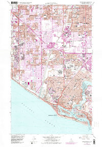
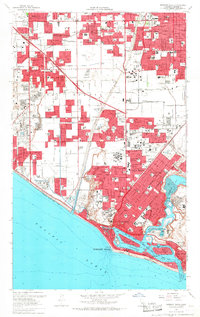
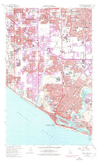
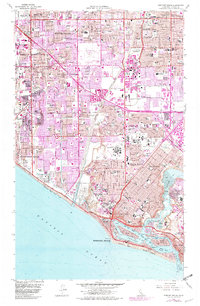
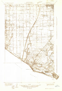
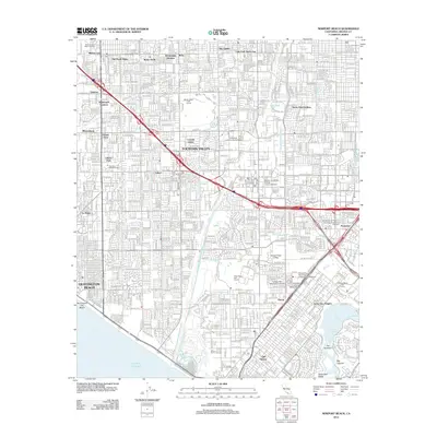
1965 Map of Newport Beach
USGS Topo · Published 1982About this map
Newport Beach and its surrounding coastal communities are captured here during a period of rapid mid-century expansion across the Orange County landscape. The map illustrates the transition from a resource-driven economy, evidenced by the Oil Field near the coast, to the sprawling residential and recreational hub known today. Significant institutional landmarks such as the Fairview State Hospital and the County Fairgrounds in Costa Mesa anchor the central portion of the sheet.
Find a feature on this map
81 named features on this map. Tap any name to fly to it.
Don’t see what you’re looking for? This feature index may not catch every label — zoom into the map to look around manually.
Map Details
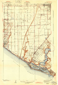
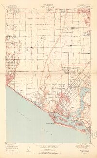
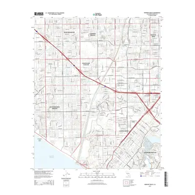
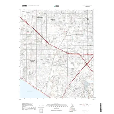
Editions of this 1965 Newport Beach Map
4 editions found
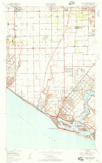
Historical Maps of Santa Ana Through Time
9 maps found
1932 Newport Beach
Orange County, CA
1935 Newport Beach
Orange County, CA
1949 Newport Beach
Orange County, CA
1951 Newport Beach
Orange County, CA
1965 Newport Beach
Orange County, CA
2012 Newport Beach
Orange County, CA
2015 Newport Beach
Orange County, CA
2018 Newport Beach
Orange County, CA
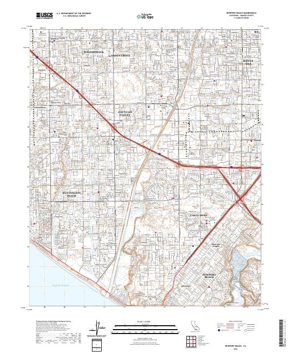
2022 Newport Beach
Orange County, CA