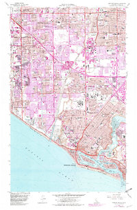
1965 Map of Newport Beach
USGS Topo · Published 1981About this map
Santa Ana River flows through a landscape in the midst of rapid suburbanization, with purple revisions from 1981 showing the significant expansion of residential tracts across Costa Mesa, Fountain Valley, and Westminster. The coast is dominated by the complex geography of Newport Bay, featuring developed residential enclaves like Lido Isle, Linda Isle, and Balboa Island. A notable transition in land use is evident at Mile Square Field (Closed), while the regional infrastructure is anchored by the John Wayne Airport Orange County and the massive Fairview State Hospital complex.
Find a feature on this map
82 named features on this map. Tap any name to fly to it.
Don’t see what you’re looking for? This feature index may not catch every label — zoom into the map to look around manually.
Map Details
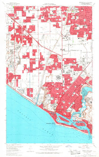
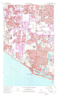
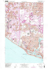
Editions of this 1965 Newport Beach Map
4 editions found
Other maps of this area

1896 · Santa Ana
USGS Topo · 1:62,500

1896 · Anaheim
USGS Topo · 1:62,500

1896 · Las Bolsas
USGS Topo · 1:62,500

1896 · Downey
USGS Topo · 1:62,500

1898 · Anaheim
USGS Topo · 1:62,500

1899 · Downey
USGS Topo · 1:62,500

1901 · Southern California Sheet No. 1
USGS Topo · 1:250,000

1901 · Santa Ana
USGS Topo · 1:62,500

1901 · Anaheim
USGS Topo · 1:62,500

1902 · Downey
USGS Topo · 1:62,500