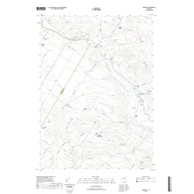
2019 Map of Newport
USGS Topo · Published 2019About this map
West Canada Creek carves a central path through the landscape of the Herkimer region, anchoring the settlements of Poland and Newport. This 2019 survey documents a terrain defined by high ridges and deep hollows, including the curiously named Oklahoma Gulf and Smoky Hollow. The map is particularly rich in genealogical sites, from the Welch Calvinistic Methodist Cem to the Irish Settlement, reflecting the diverse cultural threads that shaped these communities. High elevations such as Tanner Hill and Harter Hill rise above the drainage basins of Shed Brook and Ninemile Cr. The rural character of the area is maintained by an extensive network of county roads like Co Rd 187 and Co Rd 139, connecting scattered farms and historic burial grounds like Martins Corners Cem and the Bromley Cem.
Find a feature on this map
88 named features on this map. Tap any name to fly to it.
Don’t see what you’re looking for? This feature index may not catch every label — zoom into the map to look around manually.
Map Details
Editions of this 2019 Newport Map
This is the sole edition of this map. No revisions or reprints were ever made.
Other maps of this area

1897 · Remsen
USGS Topo · 1:62,500

1898 · Utica
USGS Topo · 1:62,500

1900 · Little Falls
USGS Topo · 1:62,500

1900 · Utica
USGS Topo · 1:62,500

1900 · Remsen
USGS Topo · 1:62,500

1900 · Wilmurt
USGS Topo · 1:62,500

1902 · Wilmurt
USGS Topo · 1:62,500

1903 · Little Falls
USGS Topo · 1:62,500

1939 · Little Falls
USGS Topo · 1:62,500

1943 · Newport
USGS Topo · 1:24,000