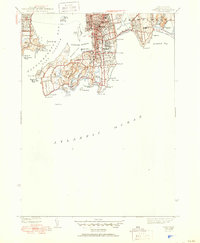
1944 Map of Newport
USGS Topo · Published 1950About this map
Newport and its coastal defenses appear at the height of World War II, showing a densely developed waterfront anchored by Fort Adams and the strategic waters of Newport Harbor. The map details a landscape defined by its Gilded Age legacy and maritime heritage, where private estates meet the public Cliff Walk along the Atlantic. While the urban core is tightly packed around the Island Cem and Common Burying Ground Cem, the southern neck transitions into the open grounds of the Newport Country Club and coastal ponds like Lily Pond and Almy Pond. Across the East Passage Narragansett Bay, the eastern shore of Conanicut Island and the village of Jamestown provide a rural counterpoint. This mid-century survey documents the city before modern bridge expansions, when ferries still shuttled between Goat Island and Rose Island.
Find a feature on this map
74 named features on this map. Tap any name to fly to it.
Don’t see what you’re looking for? This feature index may not catch every label — zoom into the map to look around manually.
Map Details
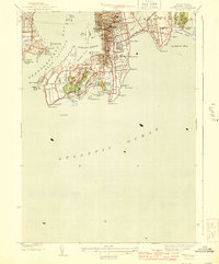
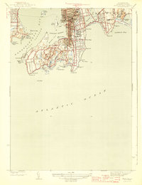
Editions of this 1944 Newport Map
3 editions found
Other maps of this area

1885 · Sakonnet
USGS Topo · 1:62,500

1888 · Fall River
USGS Topo · 1:62,500

1888 · Sakonnet
USGS Topo · 1:62,500

1889 · Newport
USGS Topo · 1:62,500

1890 · Narragansett Bay
USGS Topo · 1:62,500

1892 · Narragansett Bay
USGS Topo · 1:62,500

1893 · Sakonnet
USGS Topo · 1:62,500

1893 · Fall River
USGS Topo · 1:62,500

1894 · Newport
USGS Topo · 1:62,500

1904 · Newport
USGS Topo · 1:62,500