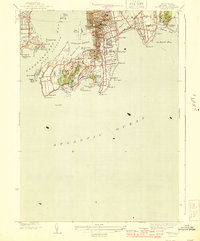
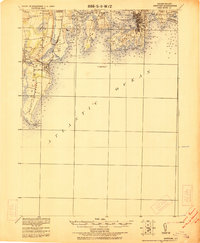
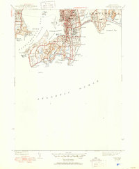
1944 Map of Newport
USGS Topo · Published 1944This historical map portrays the area of Newport in 1944, primarily covering Newport County. Featuring a scale of 1:31680, this map provides a highly detailed snapshot of the terrain, roads, buildings, counties, and historical landmarks in the Newport region at the time. Published in 1944, it is one of 3 known editions of this map due to revisions or reprints.
Find a feature on this map
80 named features on this map. Tap any name to fly to it.
Don’t see what you’re looking for? This feature index may not catch every label — zoom into the map to look around manually.
Map Details
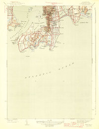
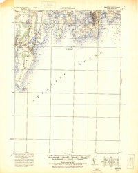
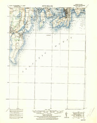
Editions of this 1944 Newport Map
3 editions found
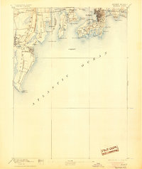
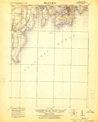
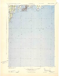
Historical Maps of Easton's Point Through Time
11 maps found

1889 Newport
Newport County, RI
1894 Newport
Newport County, RI

1904 Newport
Newport County, RI
1920 Newport
Newport County, RI
1922 Newport
Newport County, RI
1931 Newport
Newport County, RI
1935 Newport
Newport County, RI

1939 Newport
Newport County, RI
1942 Newport
Newport County, RI
1944 Newport
Newport County, RI
1957 Newport
Newport County, RI