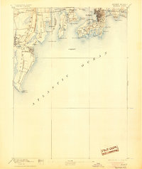
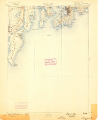
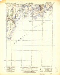
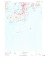
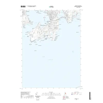
1894 Map of Newport
USGS Topo · Published 1905About this map
Coastal fortifications and maritime navigation define this late 19th-century survey of the Narragansett Bay entrance. The strategic military presence is anchored by Fort Adams and Fort Walcott, overlooking the dense street grid of Newport. Across the water, Conanicut Island splits the bay, featuring the protected Dutch Island Harbor and the critical Beaver Tail Light at its southern tip.
Find a feature on this map
65 named features on this map. Tap any name to fly to it.
Don’t see what you’re looking for? This feature index may not catch every label — zoom into the map to look around manually.
Map Details
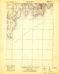
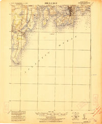
Editions of this 1894 Newport Map
3 editions found

Historical Maps of South Kingstown Through Time
16 maps found

1889 Newport
Newport County, RI
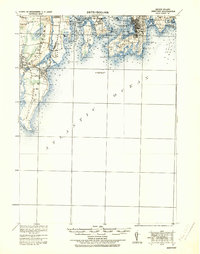
1894 Newport
Newport County, RI

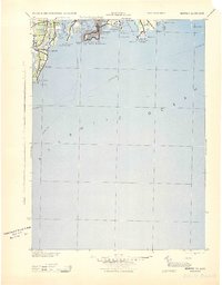
1904 Newport
Newport County, RI
1920 Newport
Newport County, RI
1922 Newport
Newport County, RI
1931 Newport
Newport County, RI
1935 Newport
Newport County, RI

1939 Newport
Newport County, RI
1942 Newport
Newport County, RI
1944 Newport
Newport County, RI
1957 Newport
Newport County, RI
2012 Newport
Newport County, RI
2015 Newport
Newport County, RI
2018 Newport
Newport County, RI
2021 Newport
Newport County, RI
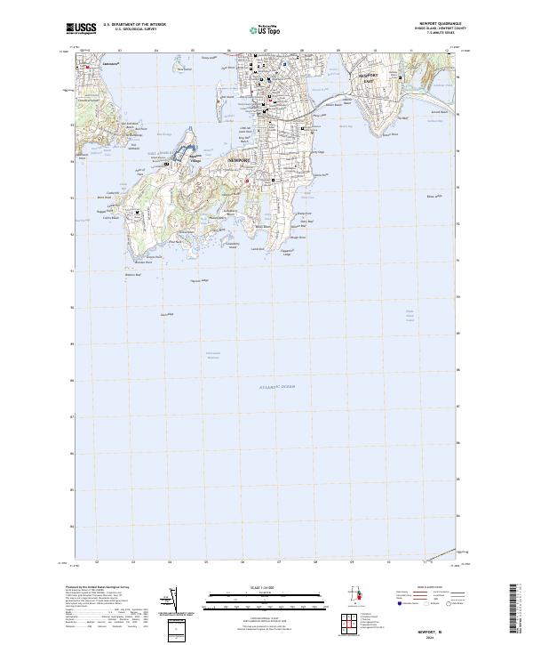
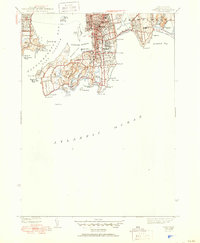
2024 Newport
Newport County, RI