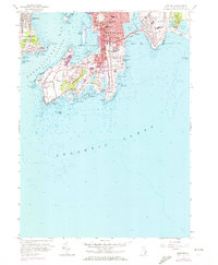
1957 Map of Newport
USGS Topo · Published 1972About this map
Newport's complex coastline and Gilded Age architecture define this 1970 photorevised study. The map illustrates the dense urban layout of the city center, from the historic Trinity Ch and Common Ground Cem near the harbor to the expansive estates of the Neck. Landmark institutions like Salve Regina College and the iconic The Breakers are situated along the Atlantic bluffs, marking a landscape where luxury residences met institutional growth. The strategic military presence is anchored by Fort Adams on the peninsula and Fort Wetherill on Conanicut Island, guarding the entrance to Narragansett Passage. The map also captures the city's maritime character through its numerous coves and shore features like Spouting Rock and the legendary Forty Steps, alongside quiet residential pockets like Brenton Village.
Find a feature on this map
91 named features on this map. Tap any name to fly to it.
Don’t see what you’re looking for? This feature index may not catch every label — zoom into the map to look around manually.
Map Details
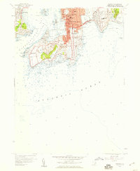
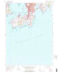
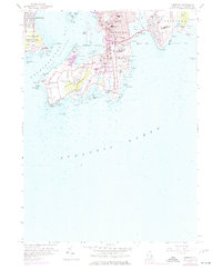
Editions of this 1957 Newport Map
4 editions found
Other maps of this area

1885 · Sakonnet
USGS Topo · 1:62,500

1888 · Fall River
USGS Topo · 1:62,500

1888 · Sakonnet
USGS Topo · 1:62,500

1889 · Newport
USGS Topo · 1:62,500

1890 · Narragansett Bay
USGS Topo · 1:62,500

1892 · Narragansett Bay
USGS Topo · 1:62,500

1893 · Sakonnet
USGS Topo · 1:62,500

1893 · Fall River
USGS Topo · 1:62,500

1894 · Newport
USGS Topo · 1:62,500

1904 · Newport
USGS Topo · 1:62,500