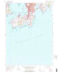
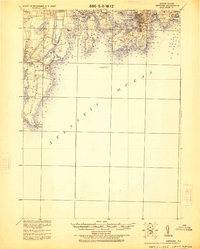
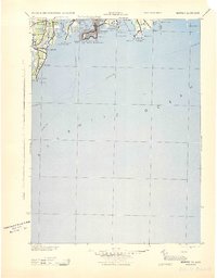
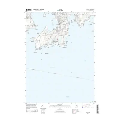
1957 Map of Newport
USGS Topo · Published 1977About this map
Newport's maritime identity and Gilded Age grandeur are clearly delineated in this mid-century survey. The city's dense urban core, centered around Newport Harbor, transitions into the expansive estates of Newport Neck. Iconic landmarks like The Breakers stand along the cliffs near Ochre Pt, while institutions such as Salve Regina College and St Georges Sch occupy prominent positions overlooking the Atlantic Ocean. The map provides a detailed look at the island's coastal defenses, from the historic Fort Adams guarding the East Passage to Fort Wetherill on Conanicut Island.
Find a feature on this map
99 named features on this map. Tap any name to fly to it.
Don’t see what you’re looking for? This feature index may not catch every label — zoom into the map to look around manually.
Map Details
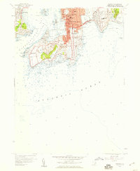
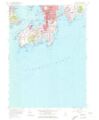
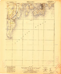
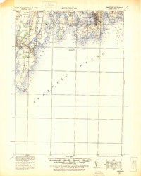
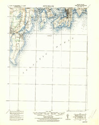
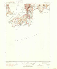
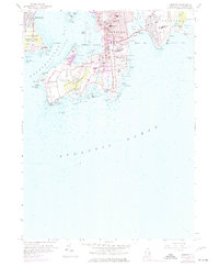
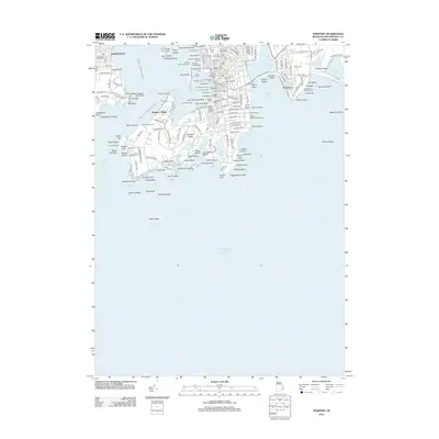
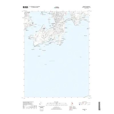
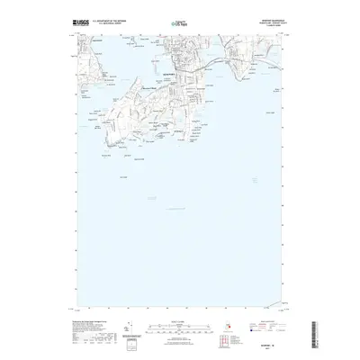
Editions of this 1957 Newport Map
4 editions found
Historical Maps of Newport Through Time
16 maps found

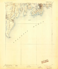
1889 Newport
Newport County, RI
1894 Newport
Newport County, RI

1904 Newport
Newport County, RI
1920 Newport
Newport County, RI
1922 Newport
Newport County, RI
1931 Newport
Newport County, RI
1935 Newport
Newport County, RI

1939 Newport
Newport County, RI
1942 Newport
Newport County, RI
1944 Newport
Newport County, RI
1957 Newport
Newport County, RI
2012 Newport
Newport County, RI
2015 Newport
Newport County, RI
2018 Newport
Newport County, RI
2021 Newport
Newport County, RI
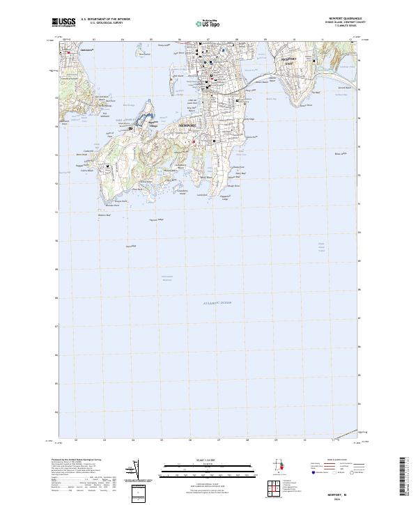
2024 Newport
Newport County, RI