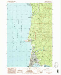
1984 Map of Newport North
USGS Topo · Published 1985About this map
Yaquina Head stands as a prominent geological feature on this mid-1980s coastal survey, marking a rugged point of land north of the city of Newport. The map details a developing coastal corridor where the infrastructure of local government, education, and recreation meet the shoreline. Inland from the Pacific Ocean, the landscape is defined by coastal creeks like Moolack Creek and Johnson Creek, which cut through the terrain toward beaches such as Moolack Beach.
Find a feature on this map
62 named features on this map. Tap any name to fly to it.
Don’t see what you’re looking for? This feature index may not catch every label — zoom into the map to look around manually.
Map Details
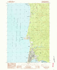
Editions of this 1984 Newport North Map
2 editions found
Other maps of this area

1941 · Cape Foulweather
USGS Topo · 1:62,500

1942 · Euchre Mtn
USGS Topo · 1:62,500

1942 · Yaquina
USGS Topo · 1:62,500

1942 · Toledo
USGS Topo · 1:62,500

1943 · Euchre Mtn
USGS Topo · 1:62,500

1944 · Cape Foulweather
USGS Topo · 1:62,500

1953 · Salem
USGS Topo · 1:250,000

1954 · Salem
USGS Topo · 1:250,000

1957 · Cape Foulweather
USGS Topo · 1:62,500

1957 · Yaquina
USGS Topo · 1:62,500