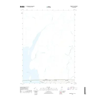
2018 Map of Newport OE N
USGS Topo · Published 2018About this map
The international border between Canada and the United States of America defines the southern edge of this landscape, where the rural settlements of Beebe Plain and North Derby sit directly on the line. Most notable is Canusa Ave, a unique roadway where the northern side lies in Canada and the southern side in the United States. To the west, the waters of Lac Memphrémagog reach across the boundary, containing Province Island, which is physically split between the two nations.
Find a feature on this map
23 named features on this map. Tap any name to fly to it.
Don’t see what you’re looking for? This feature index may not catch every label — zoom into the map to look around manually.
Map Details
Editions of this 2018 Newport OE N Map
This is the sole edition of this map. No revisions or reprints were ever made.
Other maps of this area

1919 · Lake Memphremagog
USGS Topo · 1:62,500

1920 · Derby
USGS Topo · 1:62,500

1920 · Irasburg
USGS Topo · 1:62,500

1923 · Irasburg
USGS Topo · 1:48,000

1923 · Lake Memphremagog
USGS Topo · 1:48,000

1925 · Irasburg
USGS Topo · 1:62,500

1925 · Memphremagog
USGS Topo · 1:62,500

1950 · Lake Champlain
USGS Topo · 1:250,000

1953 · Irasburg
USGS Topo · 1:62,500
1953 · Memphremagog
USGS Topo · 1:62,500