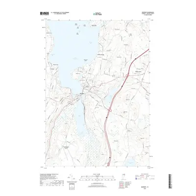
2018 Map of Newport
USGS Topo · Published 2018About this map
Lake Memphremagog dominates the northern landscape of this Vermont border region, where the Newport city center sits at the confluence of the Clyde River and the lake's southern reaches. The map details a complex system of waterways including the Black River and Barton River, which feed into South Bay. This area serves as a critical transportation and aviation hub for Orleans County, anchored by the Northeast Kingdom International Airport to the south. Numerous historic burial grounds like Saint Marys Cem and the East Main Street Cem are preserved within the city limits, while family-named landmarks such as Shattuck Hill and Darling Hill define the surrounding upland topography. Further east, Derby Center provides a secondary point of settlement near the tranquil waters of Clyde Pond.
Find a feature on this map
127 named features on this map. Tap any name to fly to it.
Don’t see what you’re looking for? This feature index may not catch every label — zoom into the map to look around manually.
Map Details
Editions of this 2018 Newport Map
This is the sole edition of this map. No revisions or reprints were ever made.
Other maps of this area

1919 · Lake Memphremagog
USGS Topo · 1:62,500

1920 · Derby
USGS Topo · 1:62,500

1920 · Irasburg
USGS Topo · 1:62,500

1923 · Irasburg
USGS Topo · 1:48,000

1923 · Lake Memphremagog
USGS Topo · 1:48,000

1925 · Irasburg
USGS Topo · 1:62,500

1925 · Memphremagog
USGS Topo · 1:62,500

1950 · Lake Champlain
USGS Topo · 1:250,000

1953 · Irasburg
USGS Topo · 1:62,500
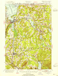
1953 · Memphremagog
USGS Topo · 1:62,500