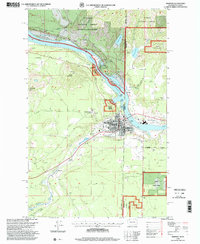
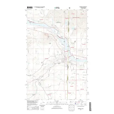
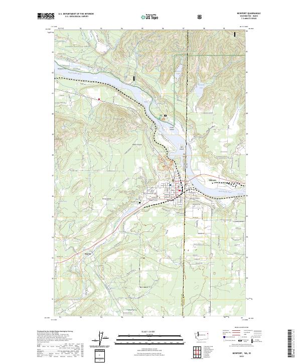
1996 Map of Newport
USGS Topo · Published 2000About this map
The Pend Oreille River bisects this mid-1990s survey, acting as the natural boundary between Pend Oreille and Bonner counties and the states of Washington and Idaho. At this river bend, the community of Newport sits on the western bank, serving as a hub of civic and educational activity with its Courthouse, Post Office, and High School. Directly across the state line in Idaho, the settlement of Oldtown maintains its own local identity, supported by the Idaho Hill School. This cross-border corridor is defined by its industrial and transit history, visible in the Sawmill operations and the Gaging Stations along the water. To the west, the landscape rises into the Kaniksu National Forest, where landmarks like Cooks Mountain and Saddle Mtn overlook the river valley and the smaller community of Penrith.
Find a feature on this map
36 named features on this map. Tap any name to fly to it.
Don’t see what you’re looking for? This feature index may not catch every label — zoom into the map to look around manually.
Map Details
Editions of this 1996 Newport Map
This is the sole edition of this map. No revisions or reprints were ever made.
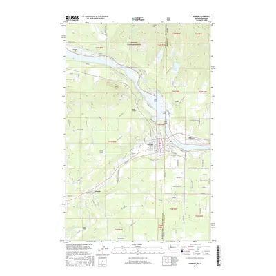
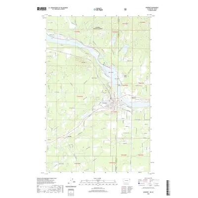
Historical Maps of Newport Through Time
9 maps found
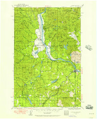
1936 Newport
Pend Oreille County, WA
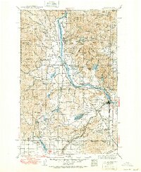
1942 Newport
Pend Oreille County, WA
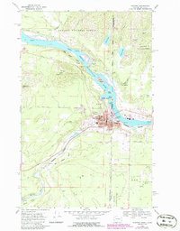
1968 Newport
Pend Oreille County, WA
1996 Newport
Pend Oreille County, WA

2011 Newport
Pend Oreille County, WA
2014 Newport
Pend Oreille County, WA
2017 Newport
Pend Oreille County, WA
2020 Newport
Pend Oreille County, WA
2023 Newport
Pend Oreille County, WA